Tramping Day 50 Feb 3rd 2018 Red Hills Hut to Hunters Hut 18km

 |
| Left - Leaving Red Hills Hut in the mist... Right - This sign made me smile - sounds like a kid's playground - but it's adults only believe me! |
 |
| Tough tramping over these river beds.. |


 |
| Left - believe it or not this is the "track"!! Right - Hunter's in sight... |
Tramping Day 51 Feb 4th 2018 Hunters Hut to Top Wairoa 18km

 |
| Big fat Kea on the track - the only one I saw in NZ that wasn't scavenging near a hut.. |
 |
| Right -Wonderful lichens and mosses on the trees - creepy in the mist... Left - meeting SOBO's tramping up from Top Wairoa |
 |
| Left - you guessed...it's the "track" Right - Top Wairoa Hut |
 |
| Always good to get a fire on... |

 |
| Break of day over the mountains near Top Wairoa Hut |
 |
| One of the many rivers to cross... |
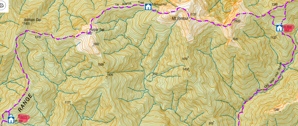
Then from Mid Wairoa it's up through the forest to the ridge - pretty steep - almost 1000m of ascent - Tarn hut is a detour off the ridge - but it only takes about 10 minutes to get there
 |
| Tarn Hut |
 |
| Tarn Hut's tarn! |
 |
| Top left - Mt Rintoul - Bottom right - starting the ascent up steep scree... |
 |
| The track is visible as a faint pale line up the left of the picture |
 |
On top of Mt Rintoul |
 |
| Tramping doesn't get better than this .... |

 |
| Superb views on the ridge between Mt Rintoul and Little Rintoul |
 |
| Up the ridge to Little Rintoul |
 |
| What us trampers call "sketchy" :-) Narrow crumbling track on Little Rintoul |

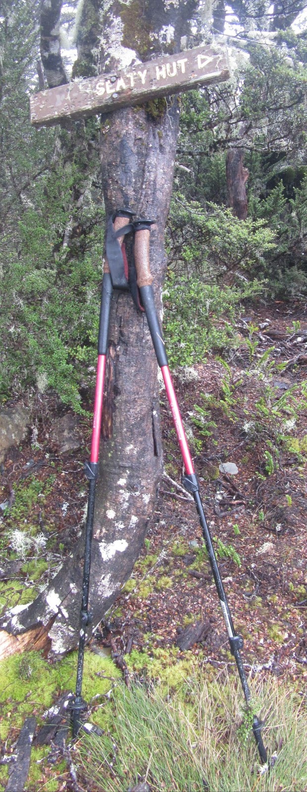
In retrospect I should have pushed on along the ridge a bit and wild camped - would have saved an hour of tramping for no real benefit. (Although you would need to collect some water before you get up on the ridge) If you have time push on to Slaty Hut (4 hours) but only realistic if you're starting from Rintoul Hut rather than Tarn
 |
| Old Man Hut |


 |
| Eventually the mist burned off... |

 |
| Hackett Hut |
 |
| Saw this sign as I exited from Hackett Hut - strangely there's no sign at Starveal Hut warning NOBO's! |
Tramping Day 55 Feb 8th 2018 Hackett Hut to Captain's Creek Hut 24km

The route to Browning Hut was pretty straightforward but then came a storm damaged section - a km of track with huge trees all over it - pretty difficult to follow the trail and lots of huge detours round the trunks.
After you get to Rocks Hut it's easy going to Middy Hut but then it starts going up and down again before reaching Captain's creek.

 |
| Captain's Creek - the last hut for me on the TA NOBO |

It's a pretty easy walk out to the road end - beautiful views of the Pelorus River and some great swimming spots if the weather is good. I got to the Pelorus Bridge Scenic Reserve and joined the tourists who do the tiny tramps in the local area - 1 or 2 km! - how the other half live :-)

 |
| Pelorus River |
 |
| Fieldmouse Roadblock |
 |
| The joy of towns - high calorie food and beer! |
Tramping Day 57 Feb 12th 2018 Anakiwa to Cowshed Bay 26km

The rain cut down my time on the Queen Charolotte Track from 4 days to 3 so I decided to skip the 17km roadwalk from Havelock to Anakiwa.


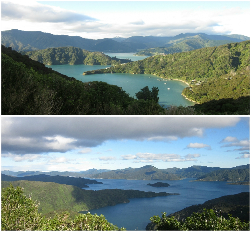
 More blues skies, easy tramping and stunning views....


 |
| Mussels steaming in the pot! |
Tramping Day 59 Feb 14th 2018 Masden's Camp to Ship Cove 17km

I had to be there by 3pm - the tramp was 17km but I flew it in about 4 hours fuelled by a mix of adrenalin and high emotion...


 |
| You know you're back in the world of the day walker when it takes 2 minutes to walk 20 metres!! |
 |
| The signboard at the entrance to Ship Cove - the jetty is the first thing you see...the end of the track... |
 |
| Boots off and a sit down... |
 |
| This is what it's all about - one tired but elated tramper standing by the Cook monument - 1300km from where I had started! |

The total ascent over the 59 days was more than 32,000 metres - or going up Everest 4 times - and as the tramp started and ended at sea level I also descended Everest 4 times!
Below are the elevation profiles - south bound _ - I did the reverse - as you can see NZ is a series of up and downs!


With all the side trips off the TA my total NZ distance was just over 1500 km or 934 miles
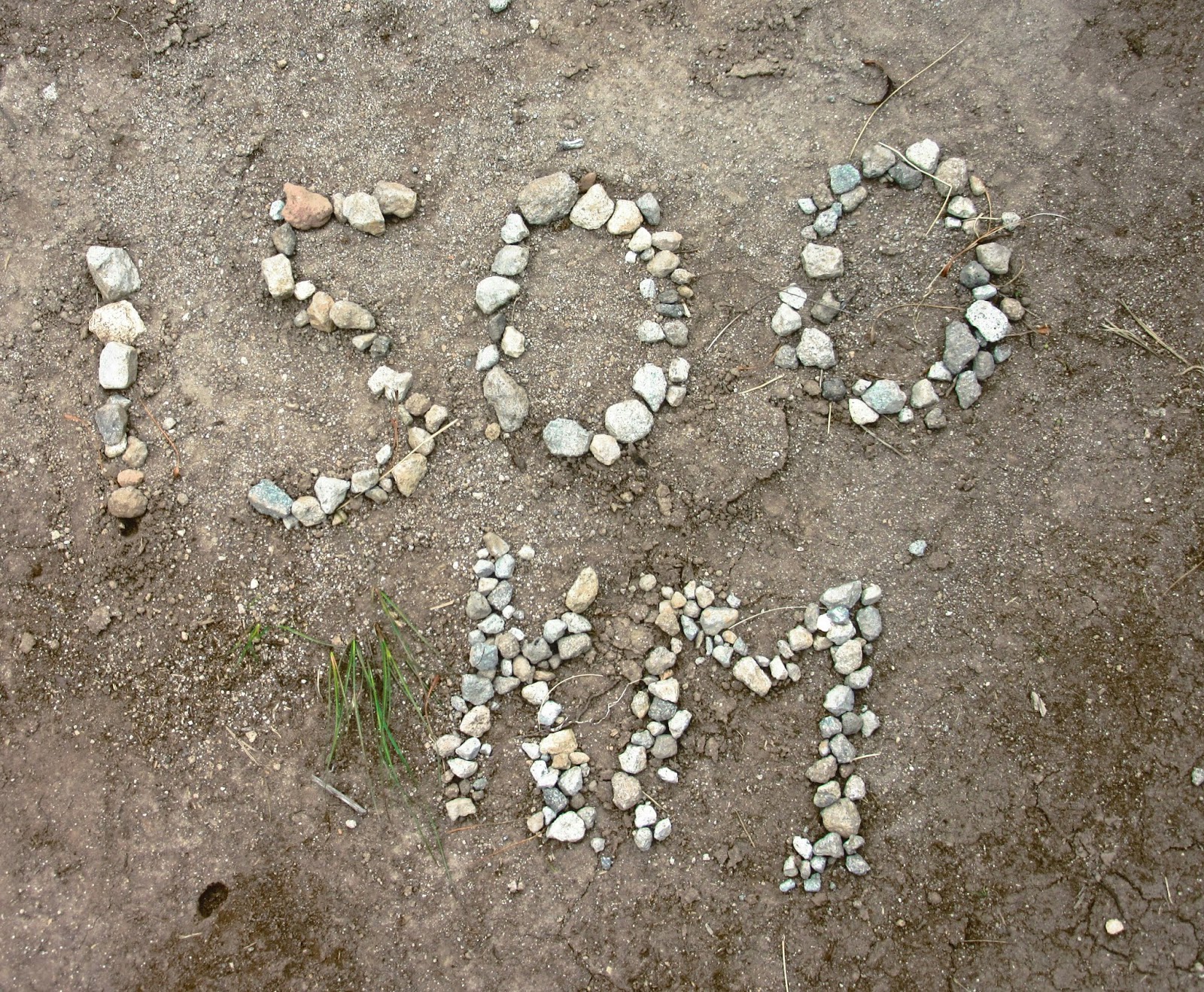 |
| With all the side trips off the TA my total NZ distance was just over 1500 km or 934 miles |
 |
| I lost quite a bit of weight even though I was eating a lot - over 10 kg! |
 |
| Unsurprisingly my boots ended up in Kiwi landfill! |